Four fatal crashes in the first six months of 2018. Zero since June 2022.
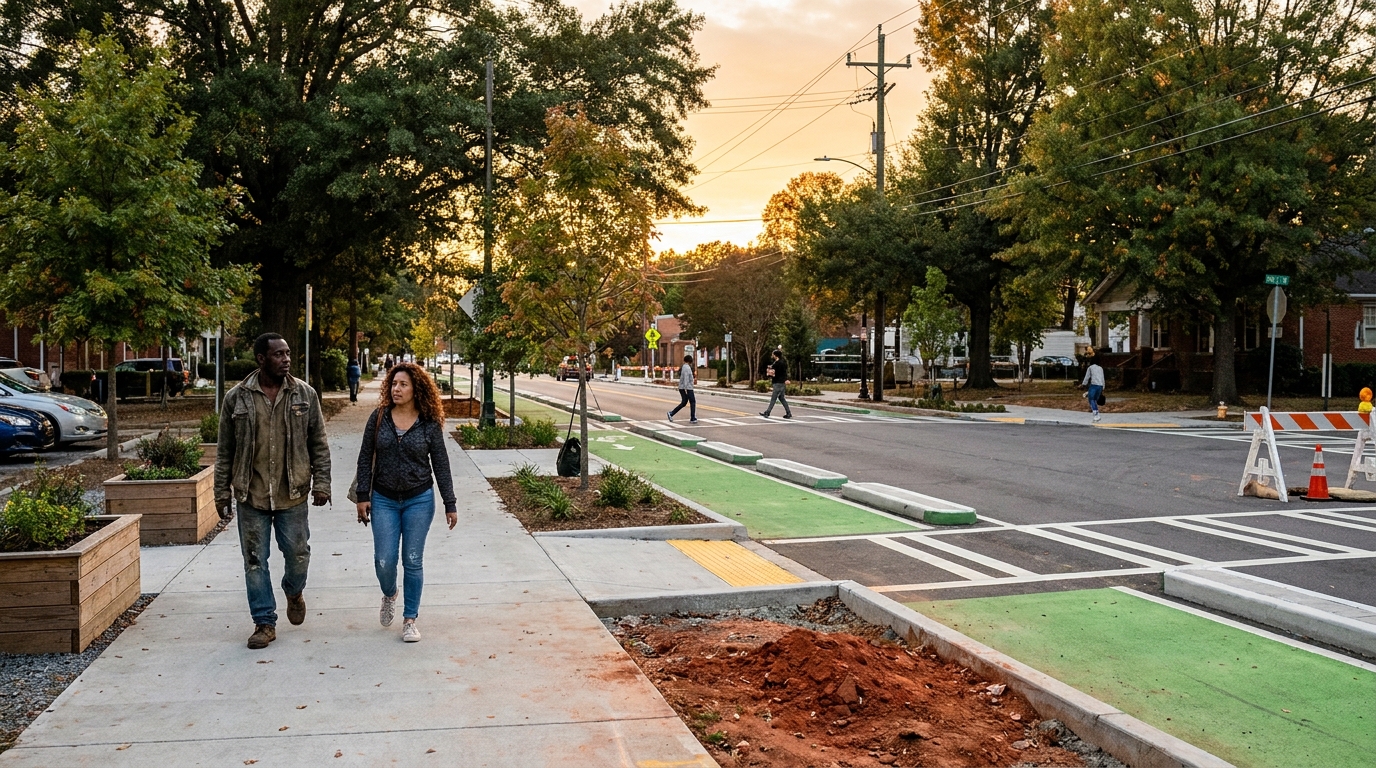
That's not a rounding difference. That's a complete reversal of a corridor's safety record — and it happened on a stretch of Martin Luther King Jr. Drive that runs from the shadow of Mercedes-Benz Stadium westward through Vine City and Mozley Park to I-20.
ATLDOT held a press conference this week to release the data. The city's Westside Complete Street project, which reconfigured the three-mile stretch to include protected bike lanes, wider sidewalks, and improved pedestrian crossings, has been fully operational since June 2022. The city's mobility director, John Saxton, presented the fatality numbers directly.
Full transparency: Complete Streets projects are genuinely divisive. Drivers hate the lane reductions. The political arguments around them are real. None of that is the point here.
The point is: the data is the data.
---
What this corridor looked like before
Vine City and Mozley Park sit just west of downtown Atlanta — close enough to Midtown and the stadium district that people assume they've already been transformed. They haven't, not fully. These neighborhoods spent decades absorbing the consequences of highway infrastructure, disinvestment, and a street grid designed around moving cars through rather than people living in.
MLK Drive as a pedestrian corridor was genuinely dangerous. High speeds, limited crossing infrastructure, a road design that communicated to drivers: this is a throughway, not a neighborhood street. Four fatalities in the first half of 2018 alone is a number that should stop you cold. That's one person every six weeks, on a three-mile stretch.
The construction itself started in 2018. Four years of disruption — the kind that makes drivers furious, that generates the 'they ruined this road' takes you'll find in every comment section. That disruption ended in June 2022. The zero-fatality clock started there.
Nearly four years since. Still zero.
---
Why this matters for how you read a neighborhood
Here's what 20 years in construction taught me about infrastructure: the physical condition of the street grid tells you something real about how a neighborhood is being prioritized.
Not in a political way. In a concrete, measurable way.
When a city invests in pedestrian infrastructure — real investment, not a coat of paint on a crosswalk — it's a signal that the underlying land use pattern is expected to shift. Protected bike lanes don't get built on corridors where the long-term plan is surface parking and drive-throughs. Complete Streets projects are expensive and politically difficult. They happen when someone with authority has decided a neighborhood is going to be walked and lived in, not just driven through.
For Vine City and Mozley Park, that decision was made and executed. The physical evidence is on the street. The safety data now confirms the infrastructure is performing as designed.
From a real estate standpoint — and this is the part worth sitting with — the neighborhoods immediately adjacent to infrastructure upgrades of this scale tend to follow a predictable pattern. Values don't move the day the ribbon gets cut. They move when the data accumulates and the perception catches up to the reality. Four years of zero-fatality data, combined with the ongoing development pressure from the Westside BeltLine connector and the stadium district, is the kind of accumulating signal that eventually moves comps.
Vine City and Mozley Park are not 'arrived' neighborhoods. Anyone who tells you they are is getting ahead of the data. But the trajectory is no longer ambiguous.
---
The construction-trained read on Complete Streets
One thing most people miss in the Complete Streets debate: the engineering involved is not trivial.
Reconfiguring a major arterial — drainage, curb radii, signal timing, ADA compliance at every crossing, utility relocation, pavement structure for a corridor that now carries different load patterns — that's a serious project. The kind that, when it's done right, lasts 20 to 30 years before major intervention.
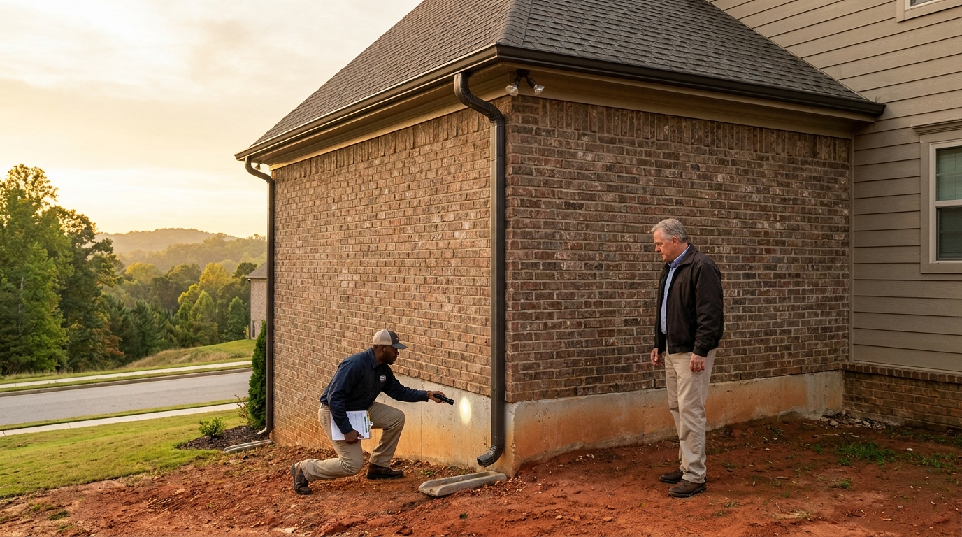
When I walk a resale property near a corridor like this, I'm looking at two things simultaneously: the condition of the building itself, and the condition of the infrastructure surrounding it. A well-built house in a degraded pedestrian environment carries a different risk profile than the same house on a corridor that's been engineered for the next generation of use.
The MLK Drive project is a city-funded infrastructure asset that directly benefits every property within walking distance. That's not sentiment. That's replacement-cost logic applied to public infrastructure.
Zero fatal crashes is the headline. The durable story is a three-mile corridor that's been re-engineered, tested over four years of real-world use, and validated by the safety numbers. That's a significant piece of public infrastructure that now anchors the west side of Atlanta's core.
Keep watching the comps on Vine City and Mozley Park. The signal is there. The recognition usually follows.
Send the address if you're looking at anything in the Westside corridor — Beckett Real Estate looks at the neighborhood infrastructure the same way it looks at the building systems: what's the actual condition, and what does it tell you about the next ten years.
Looking in Midtown?
Beckett Real Estate works Midtown end-to-end — active listings, off-market opportunities, and the construction-trained walk-through that tells you what the price reflects vs. what it papers over.
Browse Midtown listings → · Schedule a tour with Beckett Real Estate


