San Diego spent years building a reputation as California's most permissive housing market: streamlined permits, faster approvals, fewer political roadblocks than LA or San Francisco. Then the state handed them SB 79, which required cities to draw maps expanding housing density near bus stops and transit corridors. San Diego's planners drew the tightest map they could get away with. State and regional regulators pushed back. A legal row followed. And now it's settled, with a wider map, more density zones, and a precedent that other California cities are watching closely.
This isn't a California story. It's a preview.
Why Transit-Adjacent Density Policy Actually Matters — and Not Just in Blue States
The core argument behind transit-oriented development (TOD) zoning is straightforward: build more housing close to bus lines and rail stops, reduce car dependency, and theoretically bring down costs by increasing supply near where people already want to live.
The political friction is equally straightforward: existing homeowners near those corridors don't want it. They fought it in San Diego. They've fought it in Austin. They fight it in Atlanta.
Here's what 20 years across construction and project management taught me about how these fights usually play out: the developers who understand the policy timeline build earlier, get better land prices, and capture the density premium before resistance calculates the math. The ones who wait for political certainty pay for it in acquisition cost.
Atlanta isn't San Diego. But the pressure pattern is identical.

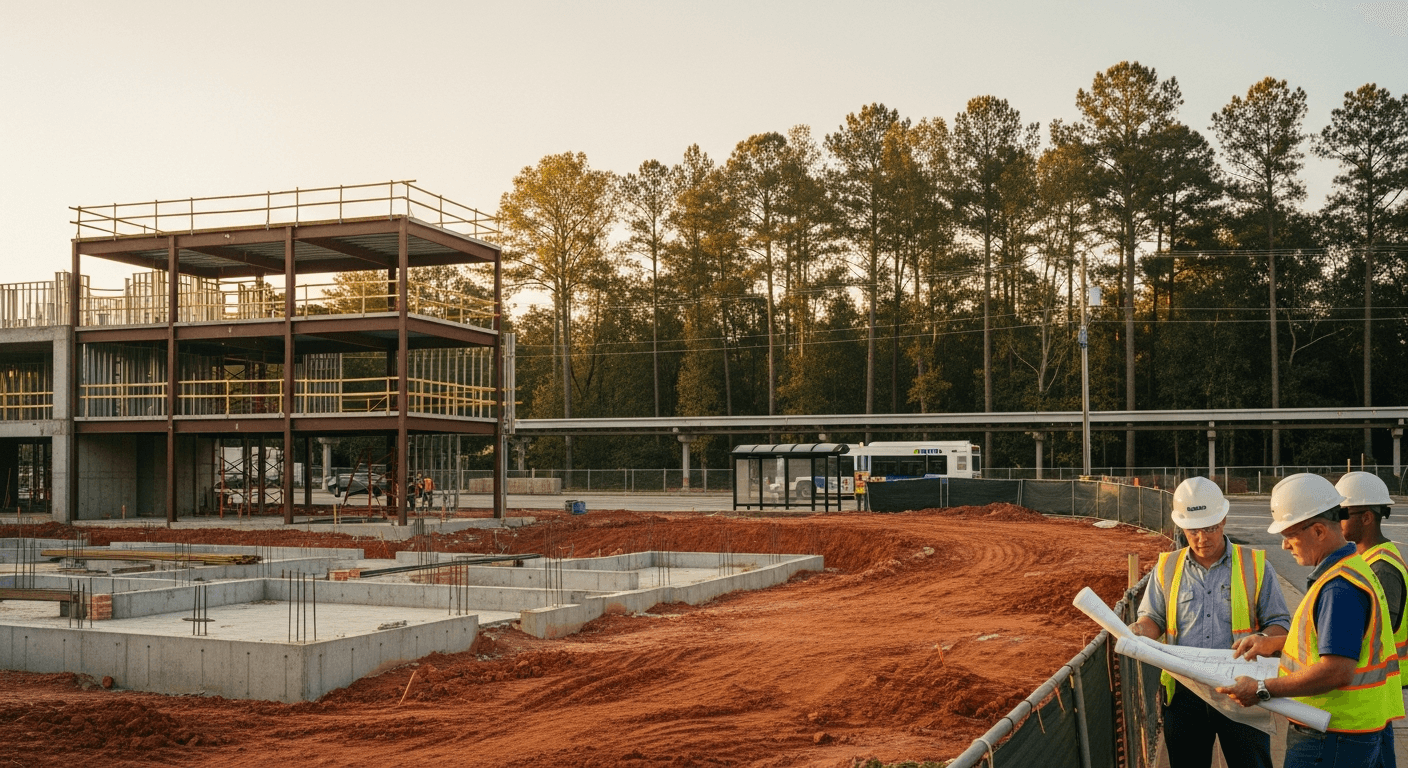
MARTA's rail lines and BRT corridors are the Atlanta equivalent of California's contested bus-stop maps. The Clifton Corridor. The Campbellton Road BRT. The planned extension toward Summerhill and Southside. These are exactly the zones where density battles are already being fought at the city and county level: zoning variance hearings, neighborhood opposition, incremental upzoning proposals that move slowly until they don't.
The Atlanta Angle: Where the Density Math Is Actually Moving
Let me be real with you. The Atlanta metro isn't going to solve its housing cost problem through suburban greenfield development alone. Cherokee, Forsyth, and Coweta are still building. Permit volumes in those counties are real. But the demand pressure is core-ward. People want walkability, transit access, and shorter commutes. The land that delivers that is constrained. Constrained land plus increasing demand equals one outcome.
A few corridors worth watching right now:
The BeltLine effect is still compounding. Inman Park, Kirkwood, Reynoldstown, and Grant Park have already repriced dramatically off BeltLine-adjacent demand. The sections still under construction (particularly the Westside Trail extensions and the Northeast Trail buildout) represent the remaining arbitrage window before full connectivity lands. The residential density along those corridors will keep moving.
Doraville and the Assembly Atlanta effect. The former GM Doraville Assembly Plant is now Georgia's largest TV and film production complex: 19 sound stages on 43 of an eventual 135 acres, Phase 1 opened November 2024. That is a transformational land use change in a corridor that MARTA already serves. Housing demand follows employment density. The parcels adjacent to Assembly Atlanta are not priced for what that development actually signals yet.
Southside and the Campbellton Road BRT. This is Atlanta's most politically contested density corridor. The BRT proposal has faced opposition from residents who explicitly do not want the density that transit investment attracts. Sound familiar? That's the San Diego SB 79 fight in Atlanta clothes. The resolution will follow the same arc: state and regional pressure will ultimately widen what local opposition tries to narrow. The timeline is uncertain. The direction isn't.
What This Means If You're Buying in Metro Atlanta Right Now
If you're buying for long-term hold — owner-occupied or investment — transit proximity is increasingly priced in. What isn't fully priced in yet is future transit proximity along corridors that are still contested.
That's where the California precedent matters. San Diego tried to draw a tight map. The state forced a wider one. Every metro with an active transit expansion program, Atlanta included, is going to work through this same tension between local zoning resistance and regional density mandates.
Here's what I'm telling clients who are looking in transit-adjacent corridors: understand the entitlement trajectory, not just the current zoning. What the parcel next to you is allowed to become in five years matters as much as what it is today. That's not a guess. That's reading the policy timeline the same way I used to read a construction schedule. You look at what's been approved, what's been funded, and what the political math forces. Then you make the call.
The building systems parallel holds here too: a neighborhood in transition is like a building mid-renovation. The value isn't in what you see. It's in what the structure is becoming. You have to know how to read it.
Full transparency: not every transit-adjacent parcel is a winner. Some corridors have been 'coming soon' for 15 years and haven't moved. Due diligence on transit timelines is real work. But the San Diego settlement is a useful signal that state-level density mandates are getting harder to resist locally, and that shifts the probability on contested corridors metro-wide.
Send the address. Beckett Real Estate looks at entitlement trajectory, transit corridor proximity, and building condition together. That's what tells you whether the price reflects the upside or ignores it.
Looking in Inman Park?
Beckett Real Estate works Inman Park end-to-end: active listings, off-market opportunities, and the construction-trained walk-through that tells you what the price reflects vs. what it papers over.
Browse Inman Park listings → · Schedule a tour with Beckett Real Estate
Thinking about a move?
Beckett Real Estate works the whole of Metro Atlanta. Tell me the address or the neighborhood and I will tell you what the house is really like, what the inspection usually finds, and what the number should be.
See homes for saleTalk to an agent nowMore articles like this